
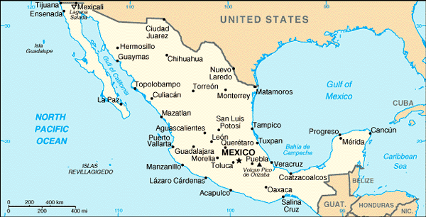
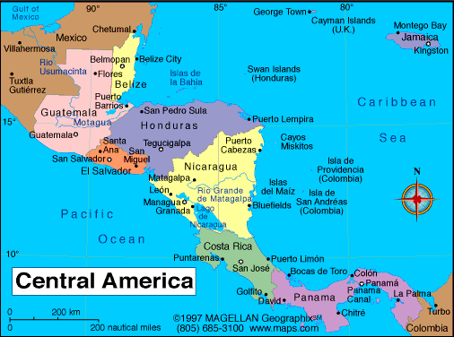
So the Ha Ha race starts way up in the top left corner and goes down that funny finger thing and ends at the tip (or Cabo) of Baja California. Oasis has reservations during the Christmas holiday in Puerto Vallarta. This leaves a few weeks of unplanned (gasp!) time. Last I heard they were planning on going up Gulf of California a bit. After New Years they are leaving Puerto Vallarta and going further south. How much, you asked? I've asked the same and the response is a shrug and "Ecuador". So then we have to leave the map at the top and travel to the next map of Central America. Okay, I'll admit I've never really looked at the west coast of Central America before. Looks bumpy and long. No, but really, it looks like an amazing adventure.
And just when you think I'm done posting maps, glance up and notice that Ecuador hasn't made it on our little map journey. Can you believe it took 3 maps to do this silly post? Can you believe that I'm so lazy I couldn't find just one map to do it? Oh, you can, well, okay. So here is my last map of the day:
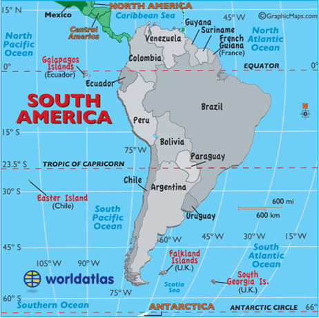
Whew, we made it all the way to Ecuador, dang it is pretty far down too.
Hopefully Debbie will get a better map and draw all over it so we can see her plan.


No comments:
Post a Comment